


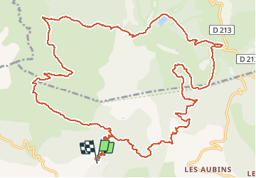


15.4 km | 26 km-effort


FREE GPS app for hiking
 SityTrail
IGN / Geographical institutes
SityTrail World
The world is yours!
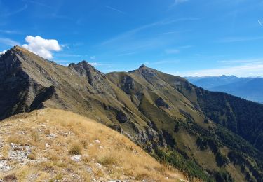
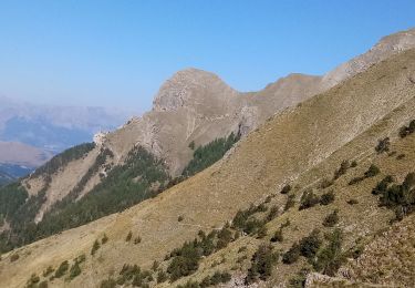
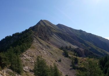
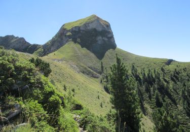
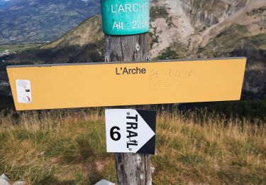
Trail Running of 19.5 km to be discovered at Provence-Alpes-Côte d'Azur, Hautes-Alpes, La Bâtie-Neuve. This trail is proposed by frederique.marti@laposte.net.


Running
Walking

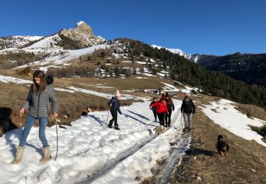
Snowshoes
Walking
Walking
Walking
Walking
Walking
Walking